Posts with tag 'Why We Love Central Oregon'
Subscribe and receive email notifications of new blog posts.
 RSS Feed
- 2026 | 65 Posts
- 2025 | 103 Posts
- 2024 | 110 Posts
- 2023 | 72 Posts
- 2022 | 52 Posts
- 2021 | 70 Posts
- 2020 | 84 Posts
- 2019 | 38 Posts
- 2018 | 48 Posts
- 2017 | 39 Posts
- 2016 | 31 Posts
- 2015 | 10 Posts
9
Bend Oregon Real Estate | August 2021 Trends
Bend Real Estate Sales Trends Mixed
As we move into Fall, Bend home sales typically slow as those who need to move prior to school starting have already purchased and the normal slight uptick we see in September and October with retirees and second home buyers has not yet begun. In 2021, August single family home sales on less than an acre for Bend reflected a mixed market with prices and new sales up, but closed sales and new homes for sale down. When August 2021 home sales are compared with August 2020, the following changes are seen:
- Average sales price up 18.7% to $776,735*
- Median sales price up 19.8% to $635,063
- New listings up 5.8% to 273
- Homes for sale down 56.1% to 276
- Pending sales up 41.3% to 431
- Sold homes down 23.7% to 232
- Median days on market down 40% to 6
- Months of supply down 64.5% to 1.1 months
- Average price per square foot up 32.2% t...
12
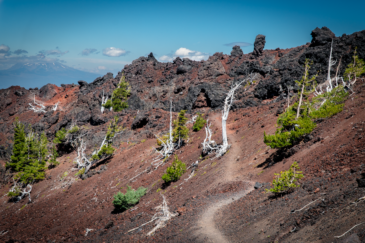
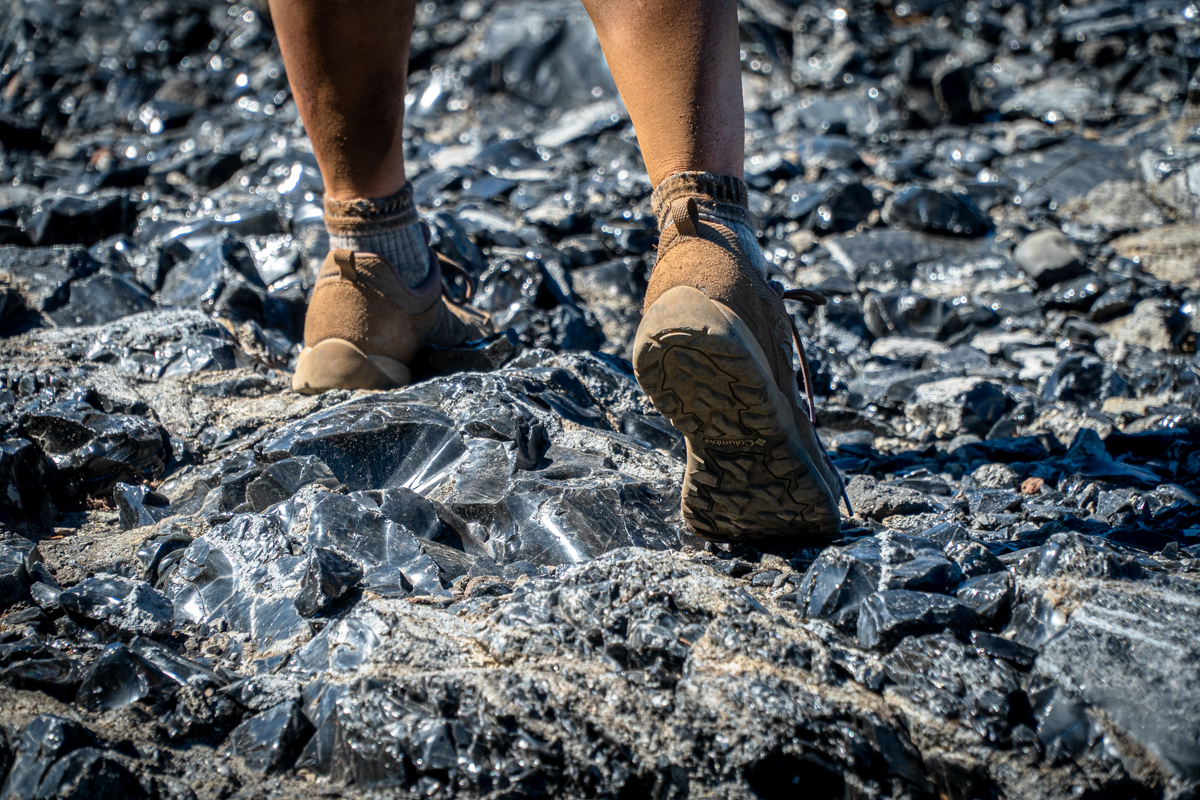
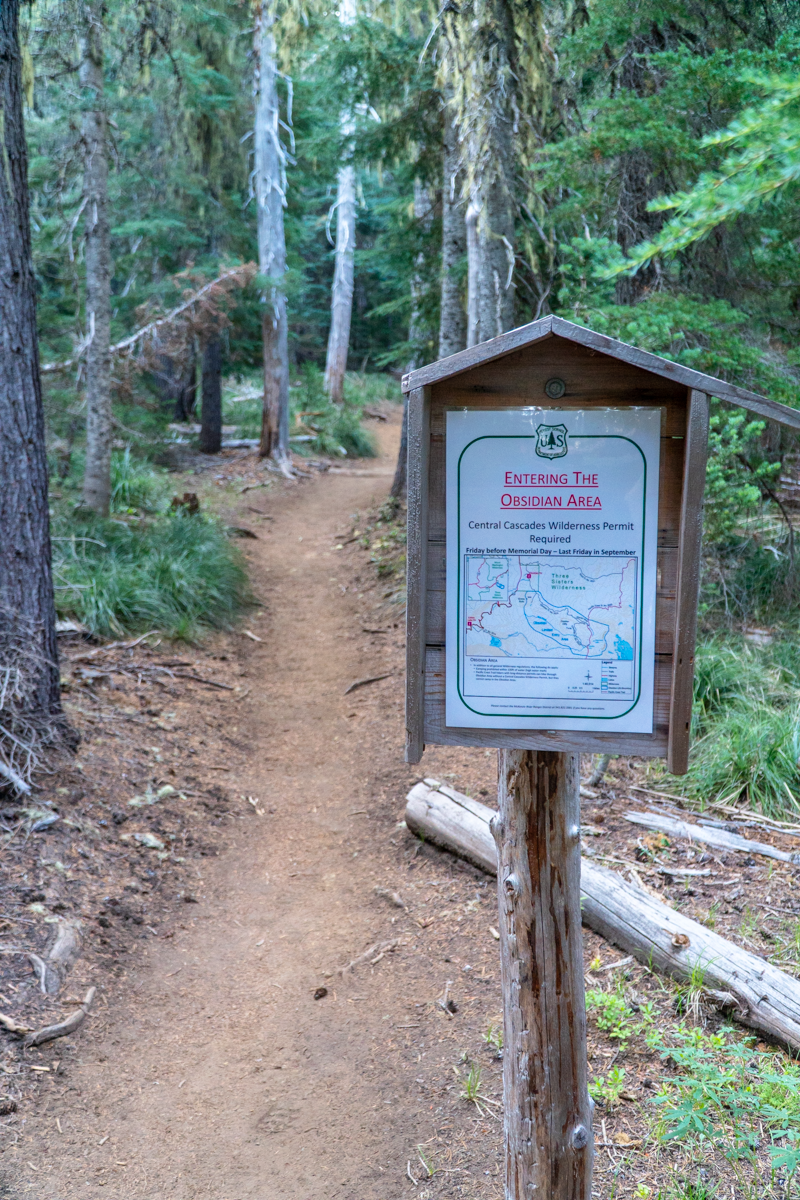
Beyond the Obsidian Trail - Wonderful Hike in the Three Sisters Wilderness
Very Few People But Amazing Views Over Every Hill
We hiked the Obsidian Trail for the first time last year and really enjoyed the beauty of this trail which starts in the Willamette National Forest and traverses through the Three Sisters Wilderness. The photos do not replicate the interesting experience of sunlight reflecting off the sharp obsidian pebbles and larger stones seen in portions of the hike.
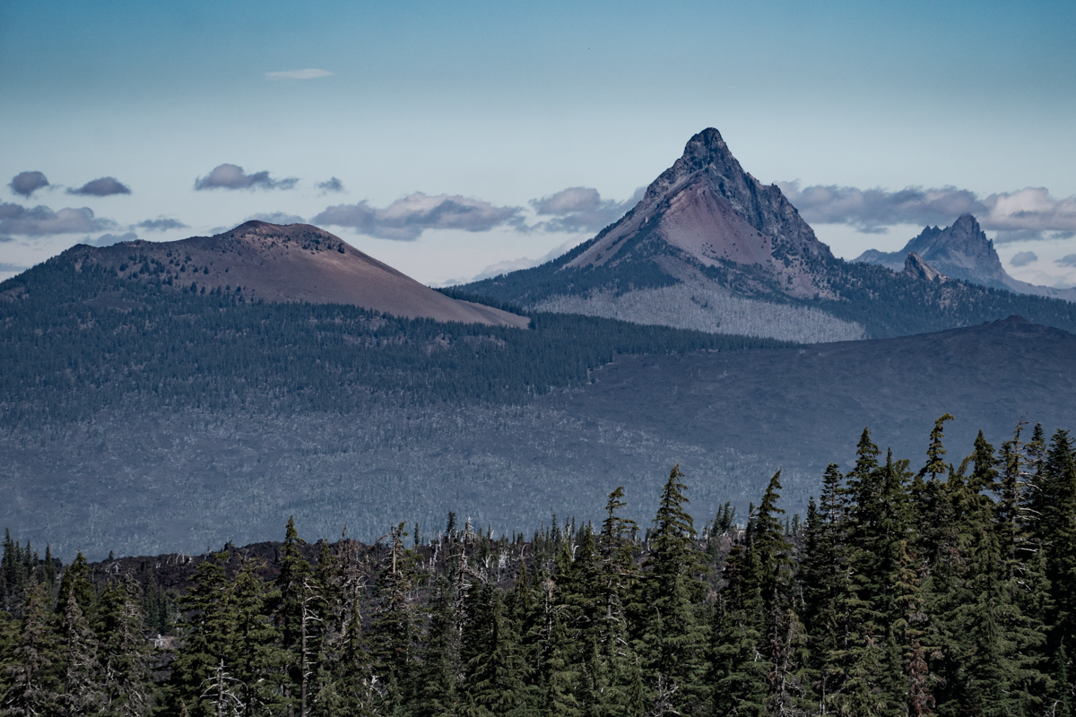
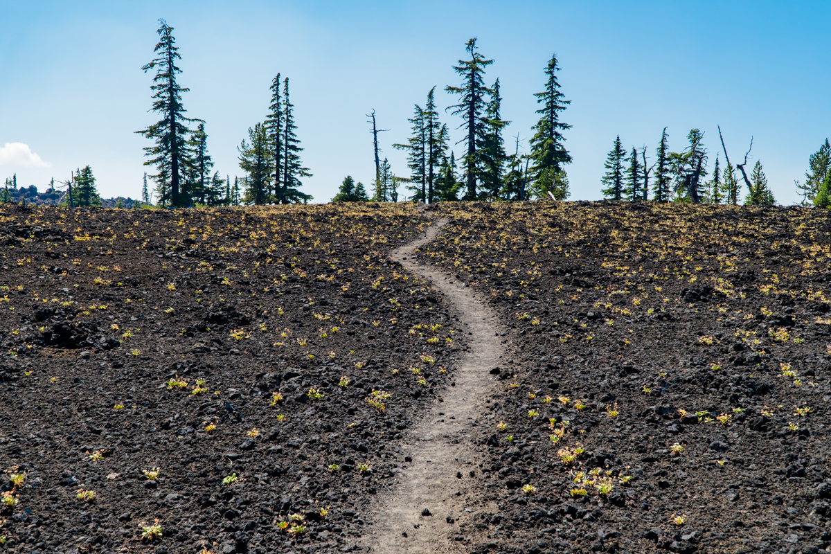
Our hike on August 7, 2021 started with smoke filled air blowing in from the Willamette Valley and Washington State. During the course of the hike we had varying degrees of smoke impacting our views and breathing, but the air quality got progressively better as the day wore on. We repeated the hike from last year, but once we reached the Glacial Way trail which loops back to the Obsidian Trail close to White Branch Creek, we elected to continue on north on the Pacific Crest Trail to Collier Cone from which, we had read, wonderful views of Collier Glacier on North Sister would be visible. But once we reached the cut off for the glacier, we elected instead to continue on to Scott Trail traveling north on PCT. This stretch of the PCT traverses through fascinating volcanic areas to the west and north of Middle and North Sister and then eventually drops into a lovely meadow in which Scott Trail intersects. Scott Trail has a branch off to Four in One Cone which we didn't take (but hope to sometime soon) and eventually brings hikers back to Hwy 242 (trail maps show a direct path from Scott Trail to the Obsidian Trailhead, but it was closed for restoration). We hiked on the shoulder of the highway 1/2 mile back to the parking lot by the Obsidian Trailhead. All in all, we estimate we did in excess of 17 miles and roughly 3400 feet of elevation gain, but it was through such an amazing area of Central Oregon that we had never experienced. The few people we met along the way, mostly on the PCT, were backpackers and once we started on Scott Trail, we saw no one else. People looking for a shorter trip can do the Obsidian Trail loop we did last year (under 12 miles) or travel Scott Trail to Four in One Cone (just under 9 miles round trip).
We hope to come back soon to this beautiful section of the Three Sisters and Mt. Washington Wildernesses to experience additional hikes. There is still much to explore.
 |
 |
 |
 |
 |
 |
 |
 |
10
A Taste of the Old World
If we have learned anything from our time living in Bend Oregon, it is that there is not a lack of amazing cuisine in this great city. Our latest venture took us to one of Bend's newest restaurants, and their take on Old World style French and Italian specialties did not disappoint. Bosa Food & Drink is located in the old Bakery Building in the Galveston corridor and is a destination we will be going back to.
 We began our meal with the Crostoni and the Meatballs. The grilled sourdough bread of the crostoni was perfectly grilled and crunchy and the simplicity of the sweet pea and white bean hummus paired so wonderfully with the pecorino and summer truffle. The meatballs on the other hand were so perfectly rich and the simplicity of the tomato gravy just enhanced the flavors of the perfectly prepared meatballs.
5
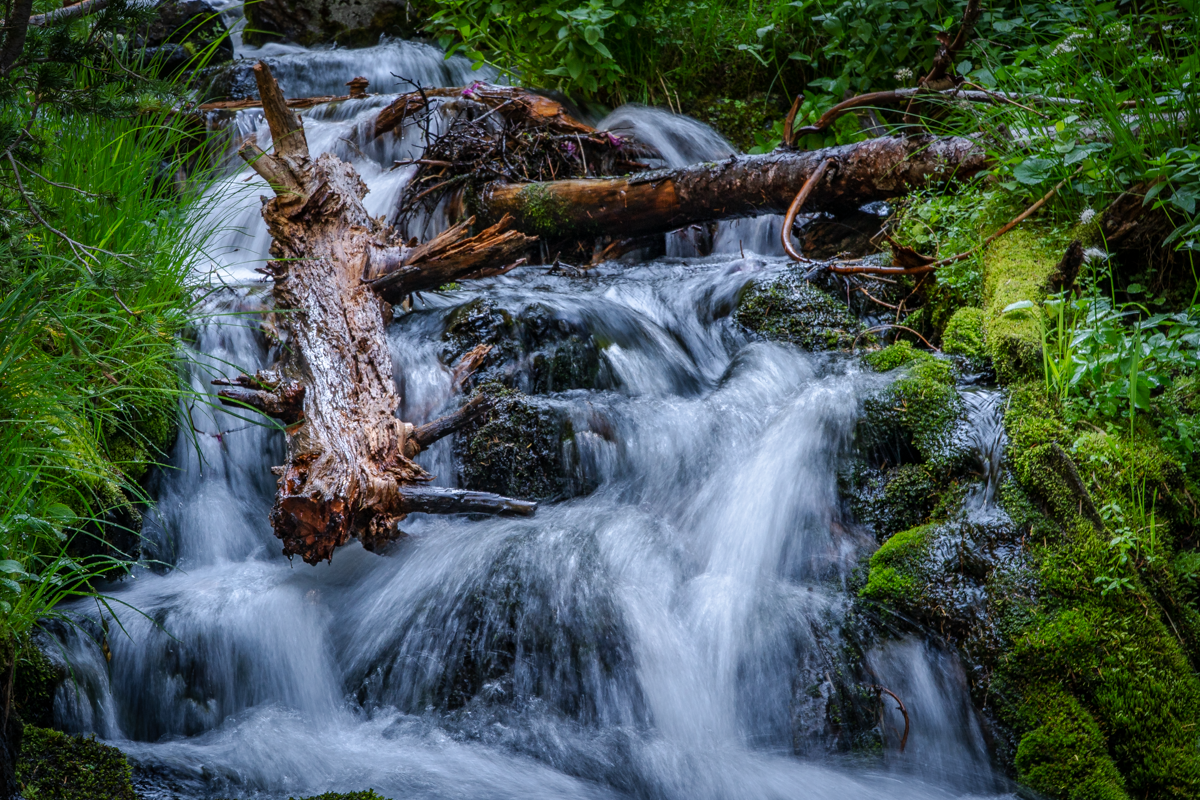
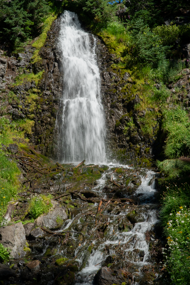
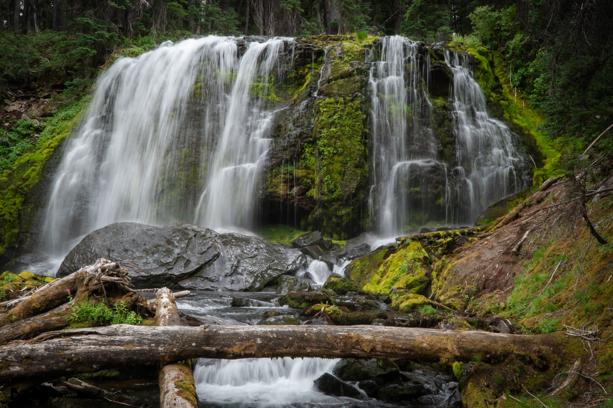
Tumalo Falls is a Bend Visitor Must See
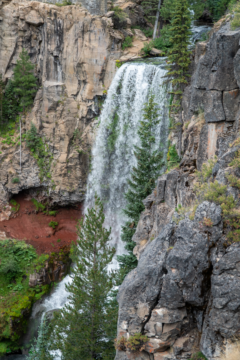 We have lived in Bend Oregon since 1985 and have hiked to Tumalo Falls and beyond many times. This lovely waterfall, located not far from Bend's westside, also is in the Bend Municipal Watershed where the majority of Bend's water comes from. Most tourists hike the 1/4 mile from the parking lot to the view point at the top the falls. But for those who are willing to continue hiking past Tumalo Falls on the trail toward Happy Valley, the rewards of many additional waterfalls are well worth the effort.
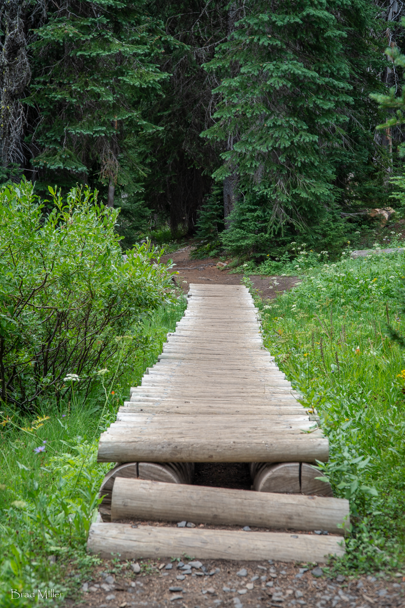
On July 31, 2021, we hiked the alternate route to Happy Valley, traveling up North Fork Trail #24, climbing 1300 feet to the Junction of trails 370 and 4601 and from there to Happy Valley. Happy Valley has changed a lot over the years we have hiked there. What used to be a remote location has become a stopping point for many mountain bikers with trails converging there. If hikers travel this route, they need to be aware of bikers on the trail and be prepared to step off to allow the bikers room to safely pass.
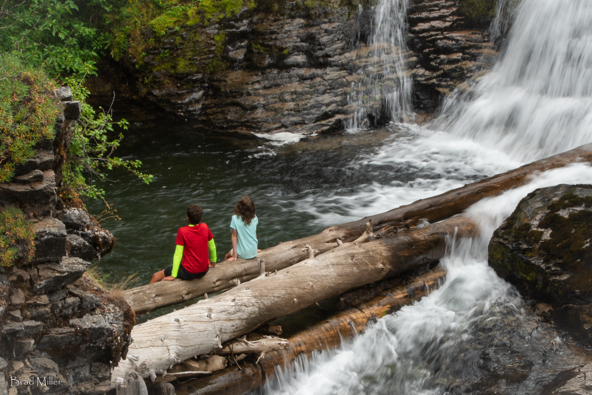
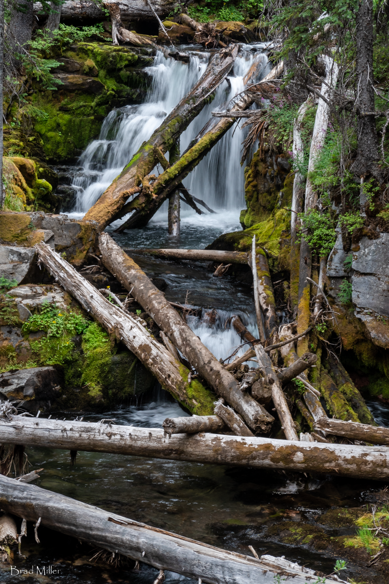
From Happy Valley traveling down the loop back to the viewpoint at the top of Tumalo Falls, people can stop at multiple waterfalls which have such inspiring names as Middle Fork Tumalo Falls, Lower Middle Fork Tumalo Falls, Lower North Fork Tumalo Falls and Double Falls. These names do not do justice to the beauty of some of these waterfalls. They are great places to stop, have lunch on the creekbanks, and watch the flowing water.
If you take the long way around up North Fork Trail #24, you will climb a bit over 1300 feet, mostly in the first 3 miles, and the full hike will be just short of 10 miles.
 |
 |
 |
 |
 |
 |
30
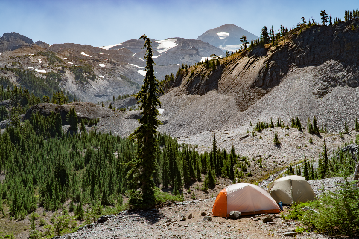
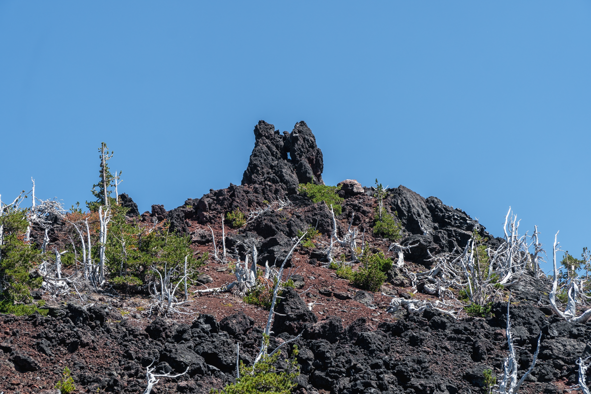
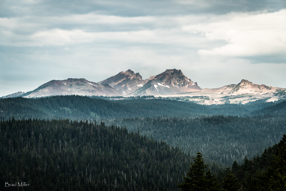
Camp Lake Has A Beautiful Setting Between South and Middle Sister
The Destination is Far Better Than the Hike There
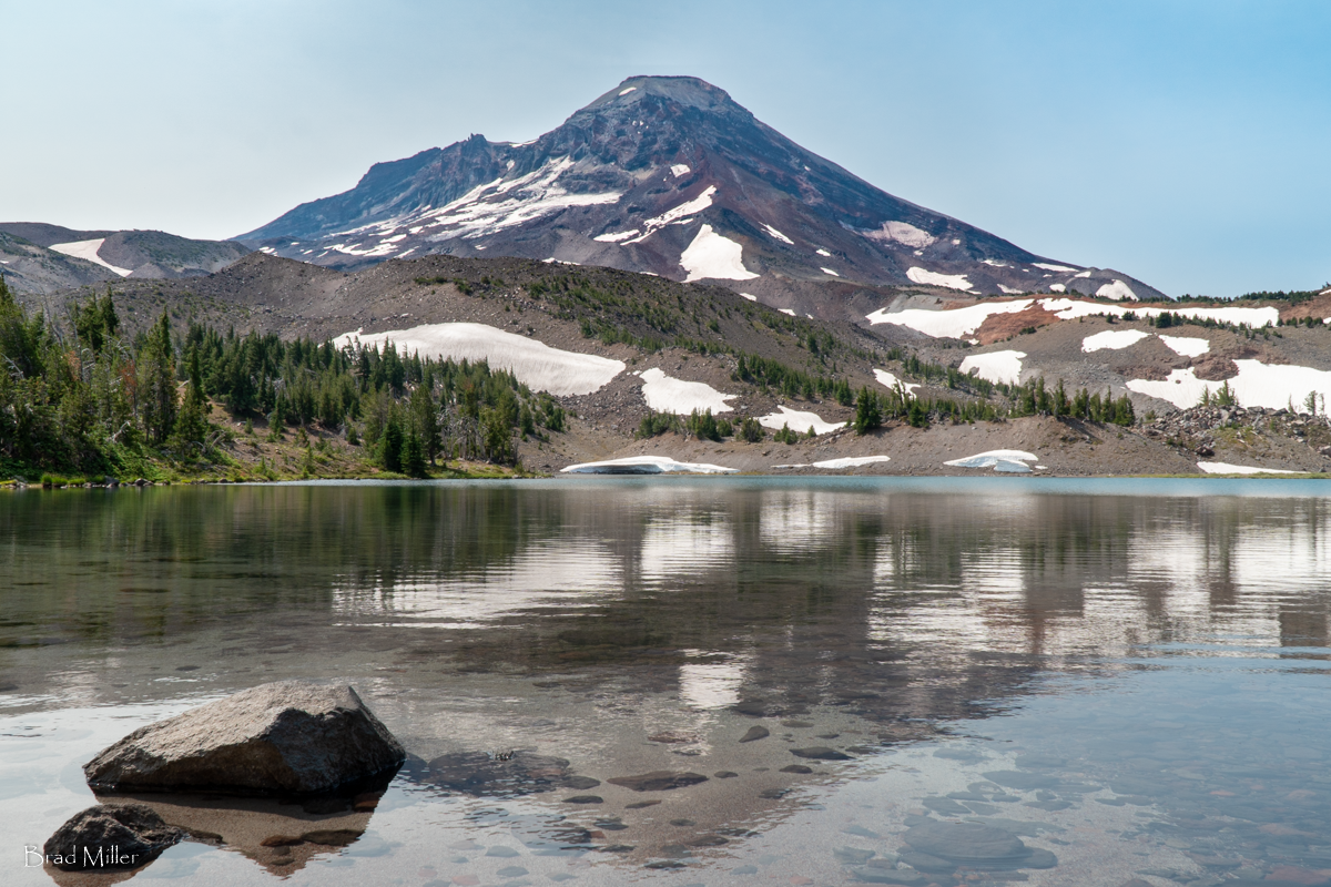
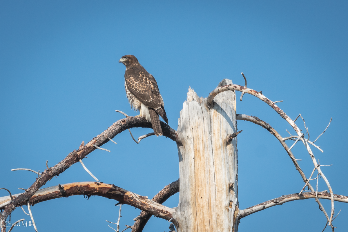
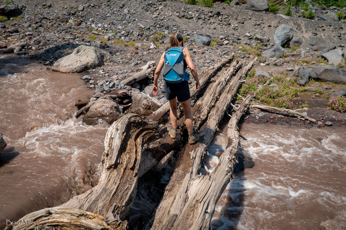
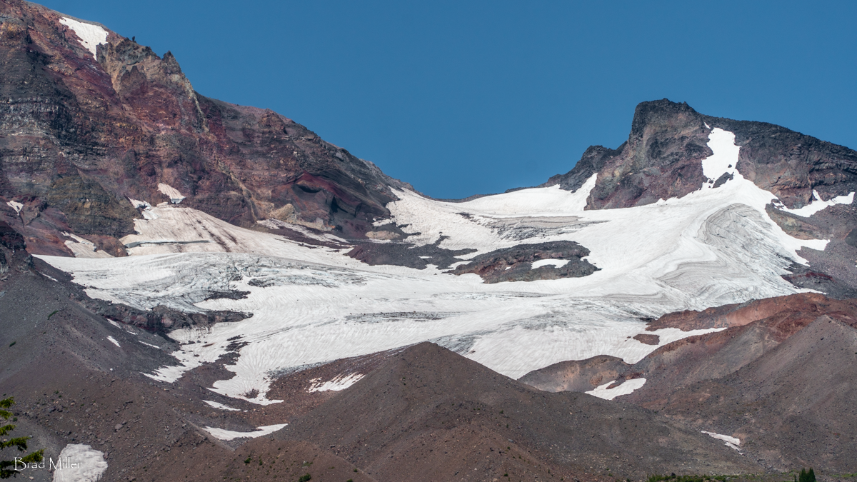
To reach Camp Lake, part of the Chambers Lakes in the Three Sisters Wilderness, hikers starting at the Pole Creek Trailhead have to trek trough 4 miles of dead trees, the result of 2012's Pole Creek Fire. We did this hike July 24, 2021 and it was a warm day. Despite the heat and the dry conditions, we saw some interesting things along the way, among them what we believe was a young Red Tailed Hawk sitting in one of the burned trees as it scouted the area for rodents. We also had fun crossing the North Fork of Whychus Creek as it flows out of Diller Glacier on Middle Sister.
 |
 |
 |
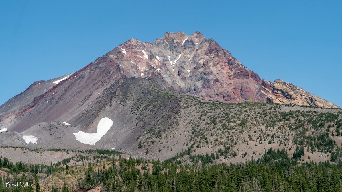 |
The remaining 3 mile trek to Camp Lake is in alpine wooded areas with fabulous views of Middle and North Sister. Just before reaching Camp Lake, the views open and South Sister becomes the main mountain visible, towering over Camp Lake. When we arrived midday, we were the only people at the lake. We enjoyed the solitude, soaking our feet in the lake, having lunch and relaxing before starting the 7 mile hike back to the Pole Creek Trailhead. Most people who hike this trail will spend the night in the area, perhaps hiking an additional mile to the more distant Chambers Lakes. For us, it was a full day with 14 miles round trip, 2700 feet elevation gain, and warm weather. If you plan on taking this hike in the summer, be sure to bring plenty of water.